The city of Thane is situated on the western banks of Thane creek with Parsik hills on the east and Yeoor hills on the west. The city was then know as Shreesthanak. It was more popularly known as the Capital of the Shilahar dynasty. The history of Thane city can be broadly categorized into 5 eras.

‘Aparant’ is the ancient name of the geographical area hosting Thane city. During the Indian expedition of the Greek Emperor Alexander, a number of philosophers, historians and geographists visited India. Among them a Greek historian ‘Tolemi’ has mentioned about the city of Thane in his writings. A famous sailor named Marcopolo had also visited Thane in 1290 ‘A.D. and noted it to be one of the best cities in the world. A place called | ‘Ghodbunder was famous for horse trading thus deriving its name from the word ghoda i.e. horse and bunder meaning port.

During this period a fabric called ‘Tansi’ was exported from Thane. During the period from 13 A.D. to 17 A.D., the Muslims, Portuguese, Marathas, & the British dynasties ruled Thane. From 810A.D. to 1260A.D. the Shilahar Dynasty ruled over Thane. The Emperors of Shilahar dynasty were disciples of Lord Shiva and the Kopineshwar Temple has been built during their reign. During this period, At this time the Shilahars also divided the city into different sections and named them as ‘padas’. it is seen that these padas exist even today by names of Naupada, Patlipada, Agripada etc.

Sunday, August 4, 2013

Kajupada Hill, Ghodbunder Road, Thane West

Kajupada is a small hill situated near Thane creek in Kajupada village. It lies opposite to the Coca cola company. There is a temple on top of the local people who go up there during Nag Panchami. Hill height is about 130 meters. There are multiple ways to climb up. The hill though not of much height, but is quite deceiving. The climb is steep and rocky. During rains its very slippery and risky. Top part of hill is also rocky as seen in picture. At the base of hill, vegetation is quite dense. The leaves brush against you and you feel the itch. Its better to go in winter up there. There are no parking's available.

At base there is a temple, shri munde aakri devi as shown above and road towards it is extremely muddy and slushy. Some dumping also goes around here. The road is very bad and you might sink your whole feet inside the dumped mud. There are quite interesting tales about the hill though as one can ask the locals around.

Saturday, August 3, 2013

Nagoba Temple, Waghbil, Thane West


Nagoba Mandir is situated along side of Thane Creek in Waghbil. It is the local deity of the fisherman people living in Waghbil. It is situated in between the rocks. A very windy place.

Kolshet Lake, Thane West


Thursday, June 20, 2013

Monday, June 3, 2013

Aerial view of Thane City


1. The first photo is of Bhiwandi City
2. The second photo is of Hiranandani Estate and Patlipada with Mahuli Fort seen behind
3. The third one is of Matheran Plateau far behind
4. The fourth one is of whole Thane City with Parsik hill, Tavli peaks and Haji Malang seen behind.
5. The fifth one is the Trombay BARC Hill
6. Below is of Upvan Lake in Thane City.


For More Aerial Views Of Thane City: Part 1 - Part 2 - Part 3

Saturday, June 1, 2013

Panchmukhi Hanuman Temple, Ovala, Thane West


Panchmukhi Hanuman Temple is a decade old temple located in Ovala just aside of Ghodbunder Road. The Panchamukhi hanuman is rare idol of Hanuman. There are many legends and interpretations to same. It is on the way to Blue roof club. There is also Poornawad Vidyapith situated here. There are also temple of Ganesh and Datta mandir.  

Tuesday, May 28, 2013

Waghbil Creek, Thane West


Waghbil creek is situated in Waghbil village, Thane west. It is also Thane creek. It is a beautiful creek. The waters of Thane creek are polluted due to waste and sewage from town and sand mining. Mangroves are being destroyed all along the coast. One should keep the city surroundings clean so the waters of the sea are also clean. It will make the beautiful place more beautiful. In first photo one can also see Tavli Peaks, Haji Malang Peak on the background. See Thane creek for more


Monday, May 13, 2013

Chena River, Ghodbunder Road, Thane

Chena River source is from the hills of National Park. Most people call it china river but it is Chena River. In monsoon it flows fiercely and causes flood in the nearby region. Its mouth is in Thane creek. There is an old chena bridge over it and a new bridge which is Ghodbunder road. Chena village is aside of this river. There are many hotels nearby. During summer small rock dams are built to collect water. During monsoon area is full of greenery  One can reach Chena river by TMT bus or Mira Road Bhayandar Bus and get down at Chena village. From there it is walkable. Slowly the river area is being destroyed due to excessive constructions, encroachments and destruction of mangroves nearby. See Bhendi Nala


Above photo is of dried Chena River bed. Since the river is not perennial, it dries up quickly after the monsoon. Water is collected by building small dams like below. But the picnickers leave all the waste behind thus polluting it. 

Chena River during monsoon

PLEASE DO NOT THROW WASTE. 

Monday, May 6, 2013

Janka Devi Temple, Vartak Nagar


Jankadevi temple is a 400-year-old shrine believed to be built during the rule of the Shilahar dynasty in Thane. Destroyed by Portuguese rulers, temple then was rebuilt by local residents. Temple had sheltered saint Ramdas. This temple is near the little flower school at vartak nagar. Also an Old Portuguese church is situated near it. There are many dogs and hens around and they come near you for food.  
Click here to know more 

Friday, May 3, 2013

Fishing Pond near Dadlani Park, Balkum

There is a large pond at the end of Dadlani Park in Balkum. It is situated aside the pipeline road across the water pipeline. Its a fishing pond made on the mangroves wetland area. Many such ponds are made on the mangroves area by their destruction. Many mangroves sites in Thane has been destroyed either by building slums encroachment, by building such lakes, dumping of wastes and sewage. Save Mangroves, Save your city. Parsik Hill can be seen behind.
Benefits of Mangroves

Wednesday, May 1, 2013

Mogharpada Koliwada Lake, Ovala, Thane West

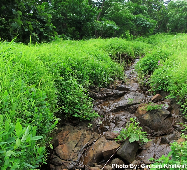
Old Picture of the Mogharpada Lake

Mogharpada Koliwada Lake, Ovala, Thane West 
This lake is near Mogharpada in Koliwada near Ovala. This is 800 meters inside from the Ghodbunder road. There is a Koliwada temple as seen near the lake. The lake is not well maintained. There are wastes and people wash clothes here. More efforts are needed to maintain this lake by TMC. On the way there is Ovala lake which is encroached and in very bad condition.

New picture of the Lake

The lake is now at descent condition compared to years before. It is not maintained but in better condition than before. New high rises have sprung up along side. A nice perimeter is made though needs maintenance. One can do a morning walk around the perimeter of the lake. More developments is needed around the lake as still washing activities are carried out in it. Overall it is much better than past.

Mogharpada Koliwada Lake, Ovala, Thane West

Mogharpada Koliwada Lake, Ovala, Thane West

Mogharpada Koliwada Lake, Ovala, Thane West

Mogharpada Koliwada Lake, Ovala, Thane West